
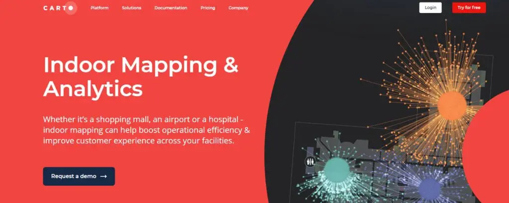
Carto Indoor Mapping
Carto provides comprehensive tools to aid organizations in the production of seamless Indoor Mapping navigations. The provided features enhance applications to deliver optimized experiences to users and can power various facilities such as shopping malls, offices, hospitals, airports. It is suitable for multiple businesses such as Retail & Real Estate, Travel, Healthcare & Elderly Care.
The platform offers a full-fledged Indoor Mapping solution to render maps into 3D, link several data sources like WiFi or GPS, and load heavy location information. Maps can be instantly digitized, and you can import CAD files and customize them using the editor.
Besides Indoor Mapping, Carto delivers Indoor wayfinding to enable smartphone users to navigate huge indoor venues. It features a search engine that can quickly specify landmarks, points of interest in a given location right on the smartphone app. Mobile users can browse shops, kiosks, or information hubs and plot the route that takes less time to traverse. It also provides a Smart routing technology that allows the user to add checkpoints in their journey.
Carto Indoor Mapping Alternatives
#1 Mapwize

Mapwize is an Indoor Mapping platform that helps businesses quickly formulate digital maps and blueprints for upcoming events or meetings. It is easy to comprehend and can be merged to work alongside multiple applications such as Wayfinding, Maintenance, Workspace Management. It supports AutoCAD files, enabling you to add them and change their dimensions according to business requirements. You can change measurements, specify rooms’ status, and mention conditions on the Web Interface or the API.
Mapwize provides an innovative tool called Mapwize studio, which is programmed to handle frequently used file formats like GeoJSon or AutoCAD. You first have to load a floorplan, after which it will display all the tools to add content and make changes to the maps. The modifications encompass Languages, Universes, Directions, and Points of Interest.
#2 Inpixon Indoor Mapping

Inpixon Indoor Mapping provides businesses with the right tools to build highly interactive indoor experiences. It offers Superior Maps divided into several surfaces and objects that can be connected with external information to provide a seamless user experience. Customer satisfaction can be further enhanced by displaying on-screen guidelines coupled with a visual representation of landmarks.
You can construct tailor-made experiences for individual users by creating permission-based profiles. Furthermore, you can control access to map views using the control management system, which also offers the functionality of setting multiple languages. Pre-built maps can be customized through the online Editor that can be opened in any web browser. This utility eases the process of updating your maps. Maps can be made visually appealing by selecting any design from the template library, which negates the need to write code.
#3 WRLD3D

WRLD3D helps businesses create feature-rich maps of any location. It provides advanced tools to formulate unique mapping experiences for your audience. The platform and its features require no coding knowledge, enabling everyone with basic knowledge to develop and publish beautiful maps. Besides 3D maps, WRLD3D can also be used to import and customize indoor maps. This technology gives you a 3D perspective of any building or venue, making it easy to enhance the internal structure. Indoor maps can be developed for AR, mobile, and VR applications and can be modified based on customer’s needs.
#4 ArcGIS Indoors

ArcGIS Indoors is a fully-featured indoor mapping system that helps you create floorplans for buildings, venues, and any other indoor facility. It equips organizations with the tools to change dimensions and assign proper space to facilitate work operations, communications, and efficiency. Your workforce can monitor the movement of assets, submit complaints on workplace problems, and keep records updated. Managers can make better decisions to ensure a creative work atmosphere, practice social distancing, and avoid congestion-related issues.
#5 Visioglobe

Visioglobe provides Indoor Mapping and Wayfinding software that optimizes your mapping applications with eye-catching indoor navigation. Through its fully-featured browser-based application, you can generate any map within seconds. The maps are enhanced with georeferencing data and can be merged with any of the available positioning technology. It takes 4 hours to combine mapping projects with multiple applications such as kiosks, wayfinding applications, and online websites. Once a project has been released, you can watch its usage statistics and determine the public’s opinion about it.
The platform provides VisioMapEditor that you can use to render 2D floor maps into appealing 3D designs. There is no need to learn modeling skills, and beginners are guided on its proper usage through a training session which takes 2 hours to complete. You can use this tool to build a multi-modal routing network and enable uninterrupted navigation experiences for users. Pre-built architectural projects from AutoCAD can be imported and converted into industry formats.
#6 Mappedin Indoor Mapping

Mappedin offers powerful indoor mapping software to create and maintain indoor projects. It provides a complete software suite to build maps for any indoor facility. You can start a new project by choosing from several developer tools, selecting from pre-designed applications, or using custom development resources. The developer tools are enriched with the necessary features to fulfill the needs of businesses in various sectors.
Developer tools include Mappedin SDKs that support multiple platforms like iOS, Android, and Web applications. It is programmed to render any imported map into a full-fledged 3D view, enabling you to change it as per requirements. You can learn more about the functionalities by reading the getting started guides provided with the tool. To check real-life SDK applications, you can look at the library of sample projects and observe the one that matches your use case. Besides these points, Mappedin Indoor Mapping has a large network of developers that can be reached out to seek professional advice.
#7 HERE Indoor Map

HERE Indoor Map lets you create intelligent and engaging navigation experiences for customers. It provides an extensive library of features that remove the hurdles encountered in accurately pinpointing areas. You can create and customize projects extensively at an affordable rate. Additionally, the platform hosts a marketplace system, where mapping projects can be uploaded and sold to interested parties.
HERE Indoor map makes the process of building new maps easy. It has an extensive list of tools that can be used to create stunning projects in a short time. You can use the styling component to change the look and feel of projects and reach a large userbase by designing applications that are web & mobile-friendly. Besides these functionalities, the platform supports several file formats and uses advanced security protocols to protect and maintain data integrity.
#8 Infsoft Indoor Mapping

Infsoft provides a fast and affordable Indoor Mapping solution to help businesses create smart indoor navigations. GPS is a commonly used instrument for generating accurate location-based data, but it cannot work inside buildings. Hence, the platform uses WiFI or beacons (Bluetooth Low Energy, BLE) to craft indoor experiences. These technologies collectively function as an “Indoor GPS” and, unlike GPS, are programmed to specify the floor number.
Indoor navigations based on beacons are popular because of their dependence on Bluetooth transmitters, which can operate on multiple platforms and provide an accuracy of 1-3 meters. Infsoft Indoor Mapping provides a beacon management platform to ease the process of sustaining and replacing transmitter equipment. Every beacon has to be positioned on checkpoints, with each having a distance of 7-10 meters based on the requirements. Many organizations rely on Beacons for indoor positioning because of their functionality to specify locations with high accuracy.
#9 Tracking World Indoor Mapping
Tracking World offers Indoor Mapping solutions to ease navigation in large and small facilities. It uses a step-by-step process to simplify the creation of efficient mapping projects. First, it gathers indoor building blueprints and their characteristics by searching from several sources such as online websites and discussion forums. Then, a technical team conducts a visit to the respective site and checks the accuracy of the collected information. On each visit, GPS equipment is brought along to pick 5- 10 geographic coordinates of every floor level in the area.
The accumulated information is given to the on-premises team, who then converts it into digital form. Upon completing the digitization process, building plans are optimized with georeferencing data and verified by crosschecking it with satellites. Tracking World Indoor Mapping is a valuable technology for various purposes like Security, Assets Tracking, and Business Development.
#10 AABSyS Indoor Mapping

AABSyS provides easy to use Indoor Mapping Service to help firms create optimized navigation experiences for users. It uses a methodology for the efficient creation of map projects. Clients first submit their requirements to the platform, after which data is collected from several sources such as blogs and websites. A technical team organizes a visit to the venue for data validation and collection of GPS data for each floor.
The platform sends the accumulated information to the on-premises team for digitization purposes. Before shipping, data accuracy is maintained by a Quality Assurance team that checks the data to find any flaws or design errors. Once the project has been developed, it is sent to the customer at their specified email address or DVD format.