
GeoBlink
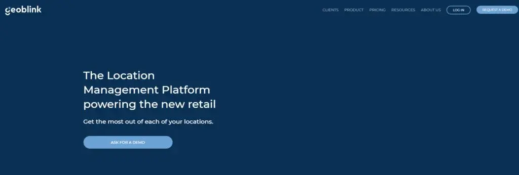
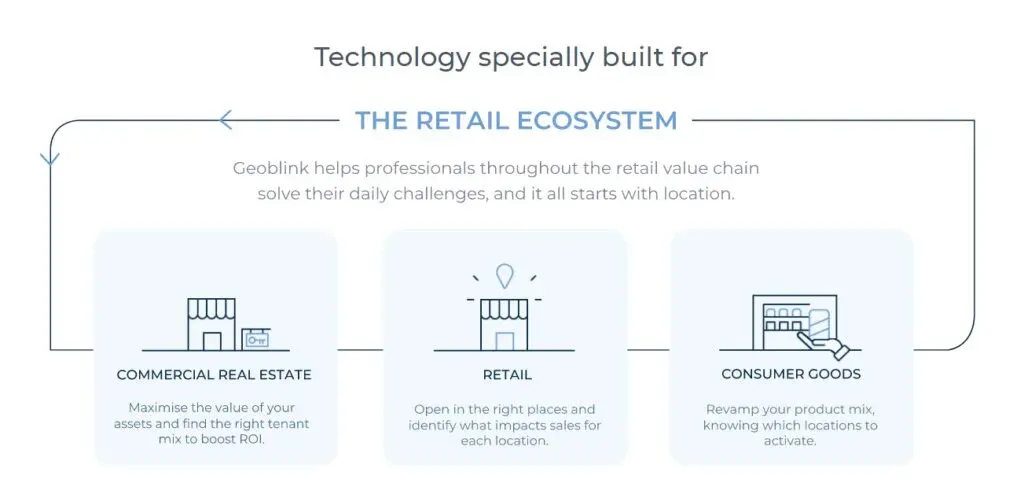
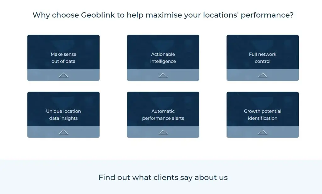
GeoBlink is a Location Management Platform that provides businesses with location-based data to help them make accurate decisions. Its purpose is to answer the multiple problems arising in the retail ecosystem. Those involved in Commercial real-estate can extract the information to increase the price of their assets and pair clients with the right tenant to supercharge ROI.
Storeowners can use the information to look for prospective store locations having the most sales potential. This technique also aids them with the placement of their products in the right store, maximizing revenue.
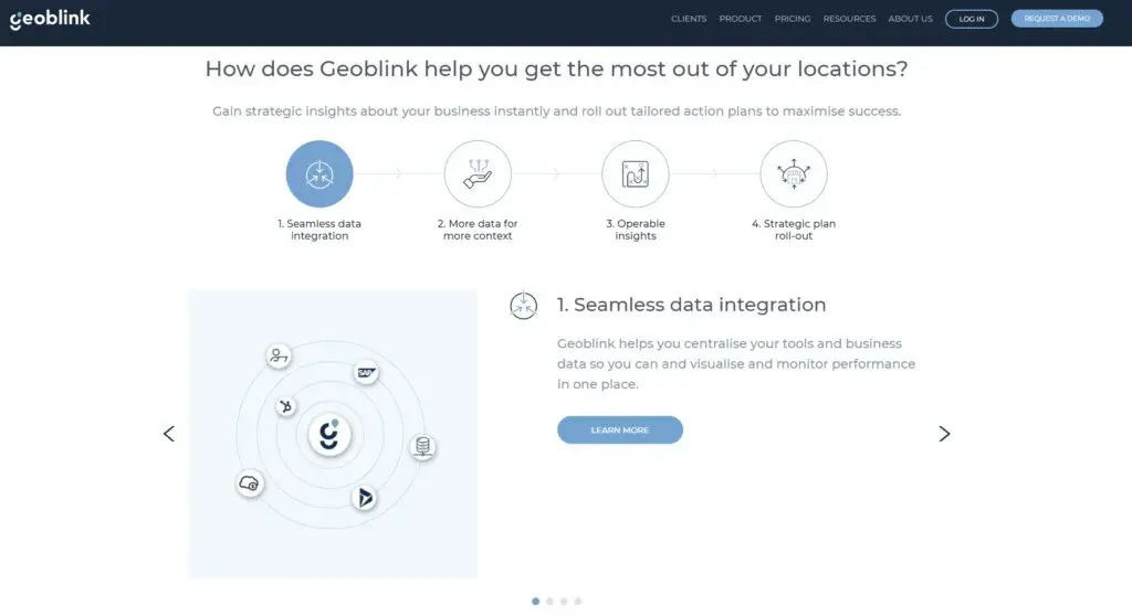
The platform uses a step-by-step process to execute its functions. It groups your tools in a single location so that you can quickly assess and evaluate performance. Data is enhanced with advanced location information to help you determine the status of operational sites. GeoBlink uses an alert system to notify the project members whenever an opportunity or anomaly is detected in the business network.
GeoBlink Alternatives
#1 QGIS

QGIS is a platform used for viewing, analyzing, and editing geospatial data. You can use this software for free. By using it, you can handle various functionalities and formats of the databases. By using QGIS, you can use raster data and overlay vectors and view the data in various formats. This platform also features the operations of editing, creating, managing, and exporting vectors, raster layers, and data in many formats.
QGIS can be used on multiple operating systems, including Windows, Mac, Unix, Android, and Linux. This software is not only available in the desktop version, but you can also run it on the servers, websites, and multiple fast working browsers. QGIS is free to use. It is very straightforward to use this platform because of the simple user interface. You can also explore data and compose maps through this platform. You can use the extensible plugin libraries and architectures to leverage the software according to your requirements.
#2 Carto

Carto (formerly CartoDB) is a popular Location Intelligence platform built to help Analysts, Data Scientists, and Developers achieve profitable results. It simplifies Spatial Analysis, making it easy for businesses to save, enhance, and analyze their information to make objective decisions. The platform divides its services into three domains; Technology, Data, and Services.
The Technology component can be regarded as a full-stack geospatial service to fulfill your requirements. It can link your information with multiple data hubs, including files stored on your device or the cloud, data warehouses, or Business Integration sources. It provides various purchasing models such as SaaS, private, public, or on-site cloud to give you complete flexibility in making location-specific judgments.
The Data module offers a huge collection of public and premium datasets to increase the performance of data. These resources help Data Analysts and Scientists preserve the time spent in grouping and refining data. It is divided into multiple categories such as Financial, Human Mobility, Environmental, Behavioral, Points of Interest, and more.
#3 Xtract.io

Xtract.io delivers web data extraction services to empower your organization’s data-driven operations. The offered services are made using state-of-the-art technologies such as Machine Learning, Artificial Intelligence, and Natural language Processing to boost your efficiency in fulfilling the requirements of customers.
Xtract.io provides a wide variety of benefits to its subscribers. It merges data from several sources, removes redundancy, and optimizes it to make it easy to use in business operations. For the precise delivery of information, the solutions are enriched with leading technologies including predictive analysis, NLP, and image recognition. It offers an API that can be quickly integrated into your architecture both onsite and on the cloud.
The platform features a Powerful reporting module that facilitates analysts and decision-makers in making the right choices. You can instantly fetch critical information on userbase, competitors, and products through the Insight component. Besides these advantages, Xtract.io can produce customized solutions as specified by the respective organization.
#4 GapMaps
GapMaps is a powerful location mapping software that provides businesses with data-driven information. Data is gathered with the assistance of experts, government institutions and is frequently updated with fresh content. It can be used by any person and doesn’t require any technical skills. For the accommodation of beginners, an hour-long training session is provided, describing the features and functionalities. The software can operate in any location with possession of a sufficient amount of spatially enabled data. GapMaps offers multiple logins for both the management and project members and can be used remotely on any device.
#5 MapInfo Pro

MapInfo Pro is a platform that enables businesses to visualize the relationship between their data and geography through the angle of location. The platform allows the users to identify people, places, and patterns of interests and make better decisions through it. The software helps the businesses to explore and act with confidence in asset management, and site selection.
The platform helps businesses to create a model according to their business need, which can guide them in taking the right actions. It aids the companies in preparing data for web mapping applications and helps in creating a map that contains data analysis and visual insights.
MapInfo Pro enables the users to visualize their data on maps with themes and labels to understand patterns better and deliver maximal value. Lastly, it comes with a MapInfo community that guides the users and provides them tips and offers a free trial and a paid version.
#6 Maptive
Maptive is mapping software that allows users to create a web-based map and also to view spreadsheet data on a map. The software allows the user to sign up, load the location-based data, and customize the map the way they like. It also enables users to create heat maps for determining changing trends in a specific location.
The skill level is not a problem while using this software as it has an easy-to-learn map creator and simple to use. The software provides its users with all kinds of customization tools to create the required maps and also enables them to edit other maps. Sharing the map privately or publishing it on a public platform and even get the map printed are some of the amazing features offered by Maptive.
The software allows the sales department to set their territories according to their team members and helps in optimizing the travel routes. Maptive, however, has a free trial, but the software works better in a paid version.